The North Australian Satellite Validation Facility (NASVF) undertakes on-going and long-term collection of on- and near-ground data in Northern Australia for the development and validation of earth observation satellite products using automated and manually operating instrumentation.
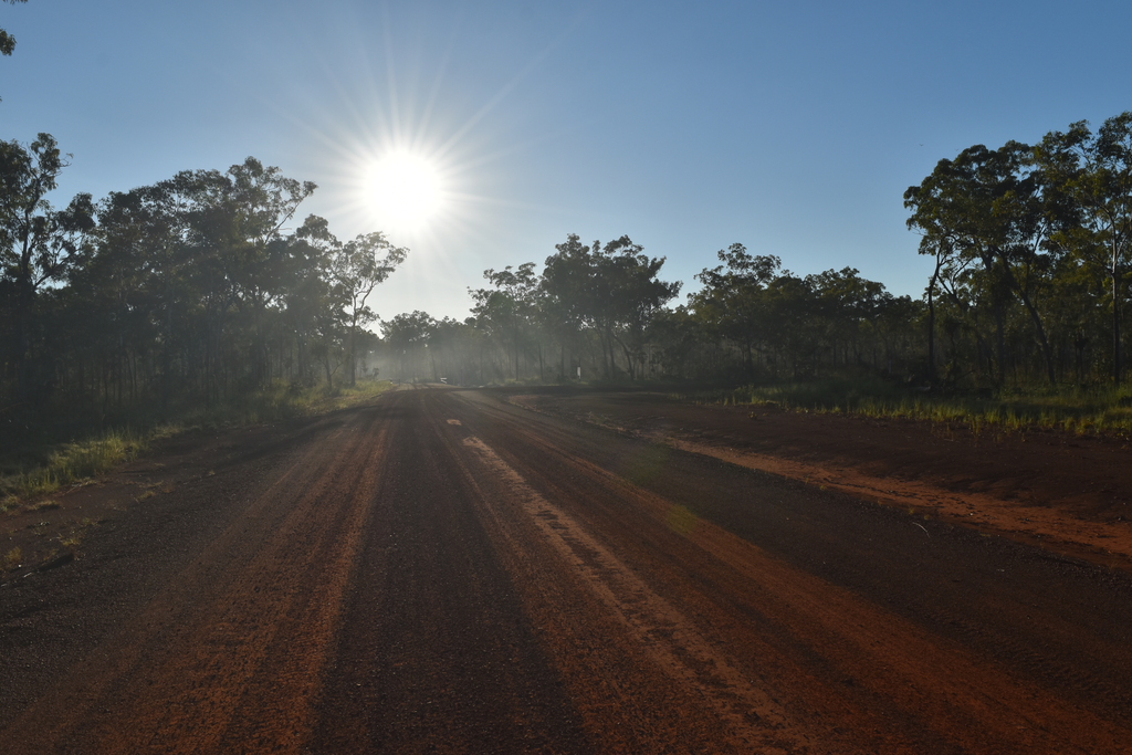
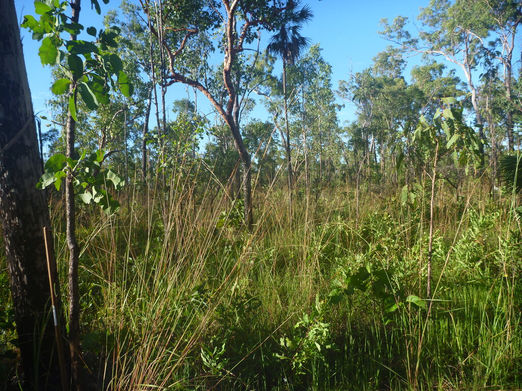
The NASVF is located at the Savanna Supersite in Litchfield National Park, a 1,461km2 conservation reserve located in the monsoonal north of the Northern Territory, approx. 80km south of Darwin. Average annual rainfall is ~1420mm, of which ~90% falls between December and March. The site is located in Eucalypt woodland, dominated by Eucalyptus miniata and Eucalyptus tetrodonta.
Due to the wet / dry season climate, the area is highly dynamic in atmospheric (ranging from very dry to very moist and very clear to very hazy) as well as surface conditions (ranging from very dry to very wet soils and bare to highly vegetated surfaces). Yet, the area has relatively low cloud cover, ensuring high observation frequencies for optical satellite sensors.
The proximity to the equator allows to support satellite missions in polar and near equatorial orbits. NASVF is a CEOS-LPV Supersite and GBOV Validation Site and co-located with the TERN Litchfield Savanna Ecosystem Processes SuperSite.
under construction
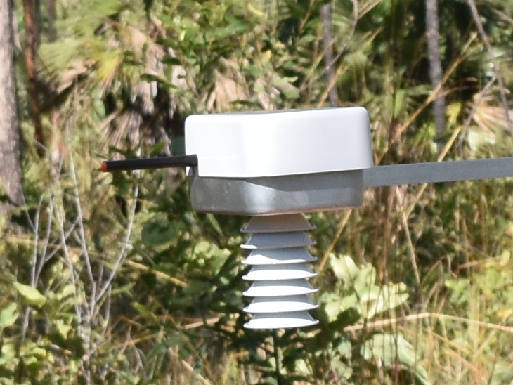
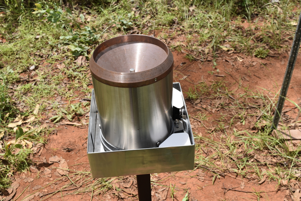
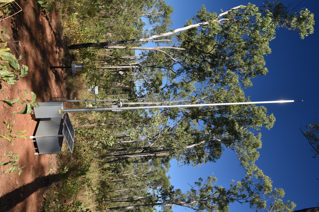
Air temperature and humidity are measured with an SHT31 from Sensirion. Rainfall is captured with a RIMCO RIM-7499-020.
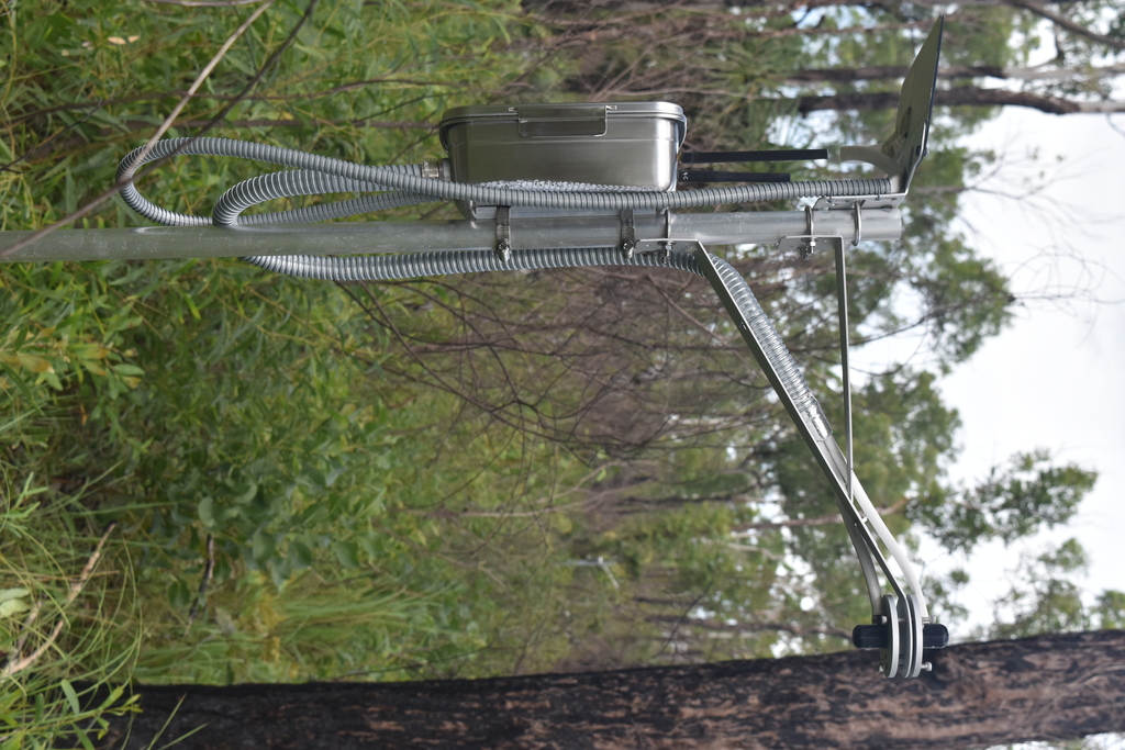
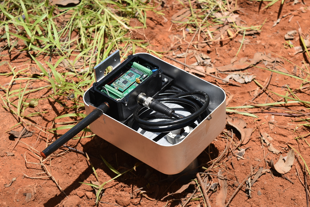
ML3 ThetaProbes from Delta-T Devices measure soil moisture and temperature at 5cm depth. Currently, 4 probes are located randomly within a radius of 400m from the LoRa gateway.
A range of cameras (with standard and fish-eye lenses) are capturing images of canopy and understorey for estimating cover and leaf area index.
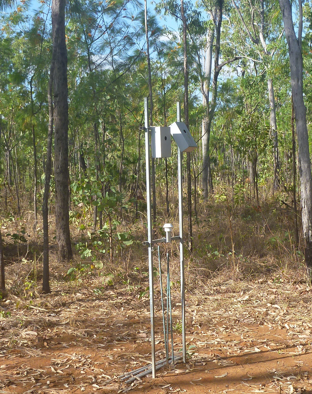
A network of sensors measuring down- and upwelling photosynthetically active radiation at different levels above, within and below the canopy and understorey allow the estimation of fAPAR.
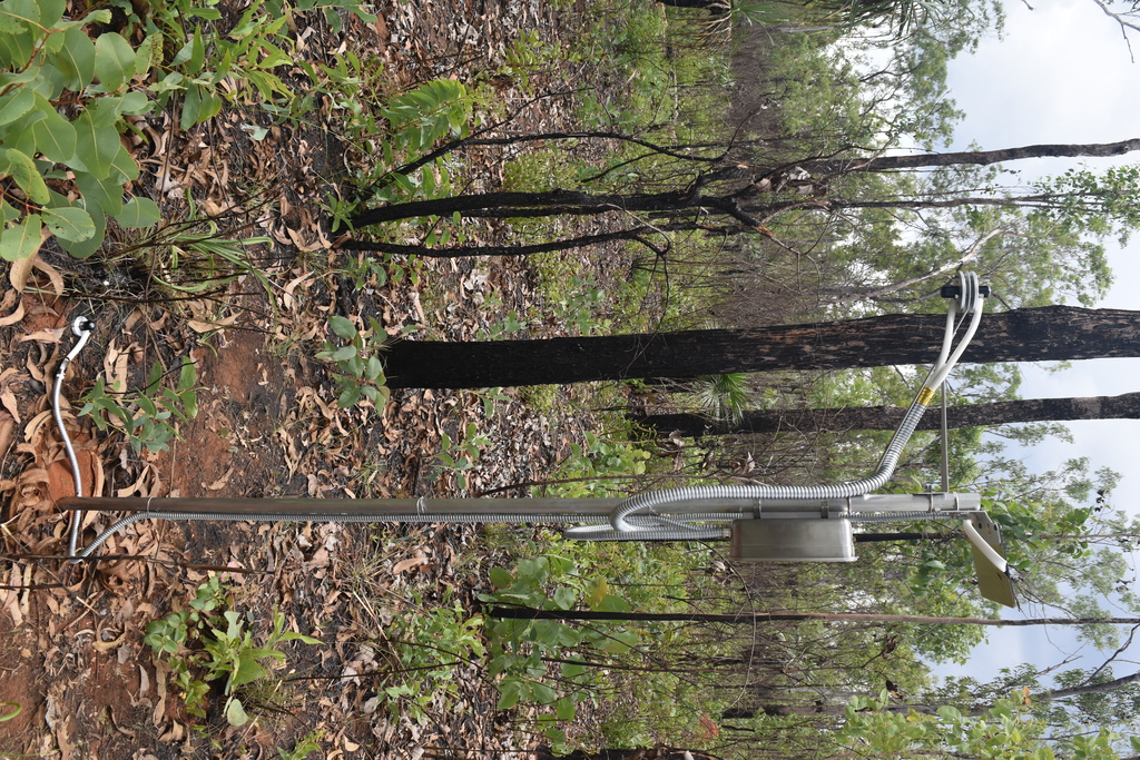
Thermal infrared radiation sensors make highly accurate measurements of surface and sky radiative temperatures.
Various instruments are currently in development, including lightning detector, solar induced fluorescence spectrometer, sky camera, sun photoradiometer and total column atmospheric water vapour sensor.
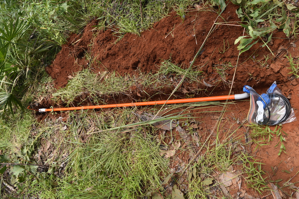
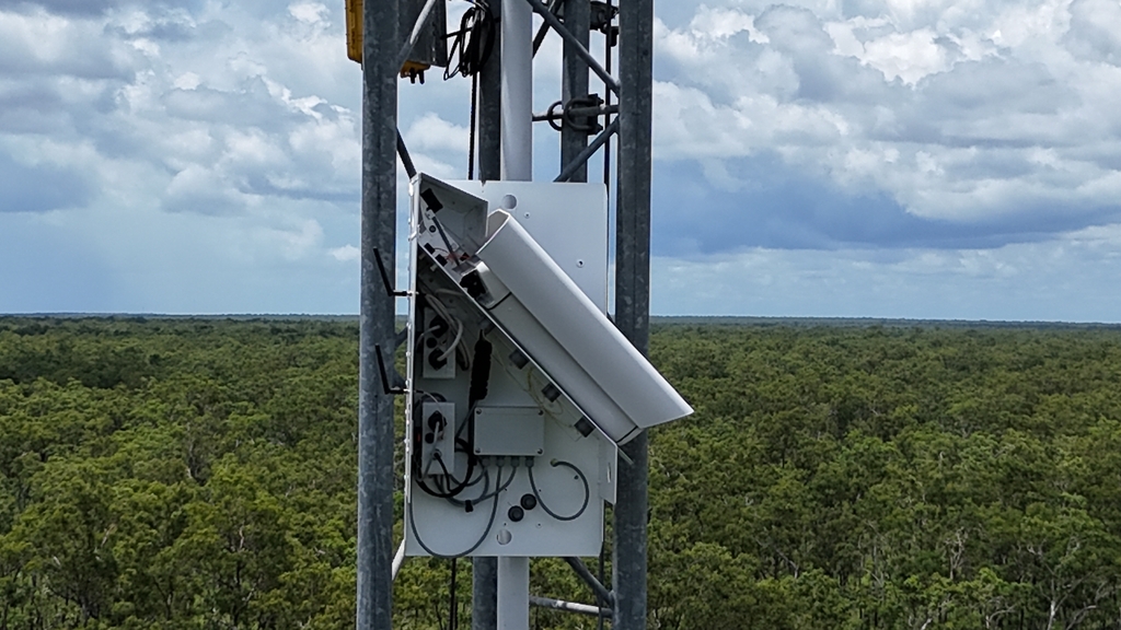
For real time data from high data rate instruments and remote access a 2.4GHz WiFi access point is used. Low data rate instruments communicate via two LoRaWAN gateways through The Things Network.
Other instrumentation can be installed on request for permanent operation or for specific time frames. Engineering support (mechanical, electronical, optical) is available for instrument adaptation, calibration and installation.
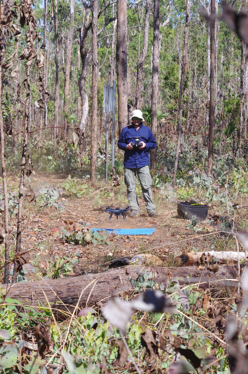
Regular measurement campaigns are undertaken using spectroradiometer, thermal infrared sensor and a variety of imaging systems mounted on remotely piloted aerial systems (RPAS) to capture top-of-canopy reflectance, surface temperature, orthomosaics, 3d vegetation structure, etc.
ACRI-ST, European Commission, European Space Agency (ESA), Environmental Sensing Systems, German Aerospace Center (DLR), Northern Territory Government, University of Leicester, University of Southampton, University of Valencia and Charles Darwin University.
maitec
Dr Stefan W Maier
PO Box 1644
Berrimah NT 0828
Australia
stefan.maier at maitec.com.au